A homemade plotter draws relief maps of the Moon
Elevation data becomes ink lines, the same trick behind any relief map you'd draw by hand.
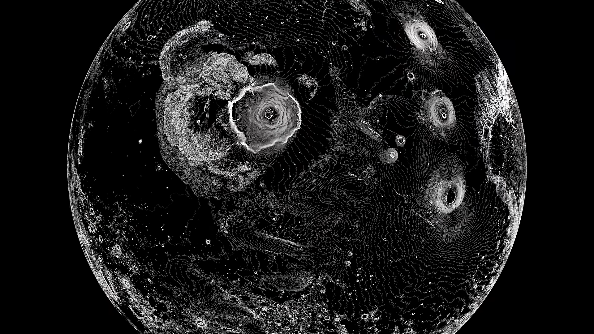
Sebastian Lague built his own pen plotter to draw maps of the Moon. Hackaday's Ian Bos covered the project on 4 October 2026. The machine runs on an Arduino and a set of stepper motors, and what it does is simple to state: it takes numbers about height and lays them down as lines of ink on paper.
The idea underneath is worth having even if you never build the machine. Lague wrote an algorithm that reads a world's elevation map and turns it into vector drawings, the paths the pen then traces. Draw a relief map by hand and you do the same thing. You decide where the ground rises and where it falls, then mark those differences as lines.
Elevation matters more for the Moon than for the globe you half remember from a classroom shelf. Hackaday points out that the Moon isn't laid out in contrasting colours the way Earth is. It's covered in craters, and height is what sets one region apart from the next. Take the colour away and the landscape is still there, in the rise and dip of the surface, as long as you have some way to read it.
The build shifted as it went. Bos writes that the pen mechanism began as a level arm that lifted a marker off the page, then moved to a linear method for raising and lowering the pen. Picking the pen up cleanly between strokes is a problem every plotter has to answer, homemade or bought.
The Moon wasn't the only target. Lague ran Mars and Earth through the same algorithm and let the machine draw those too. The write-up doesn't say where the lunar height data came from.
Bos opens with the pull of the thing itself. When you look into the night sky, he writes, you can't help but wish to bring the outer worlds to your doorstep. A machine that turns height into ink is one plain way to do exactly that, and the method outlasts the machine.
Sources
- The Big Moon Plot · Hackaday